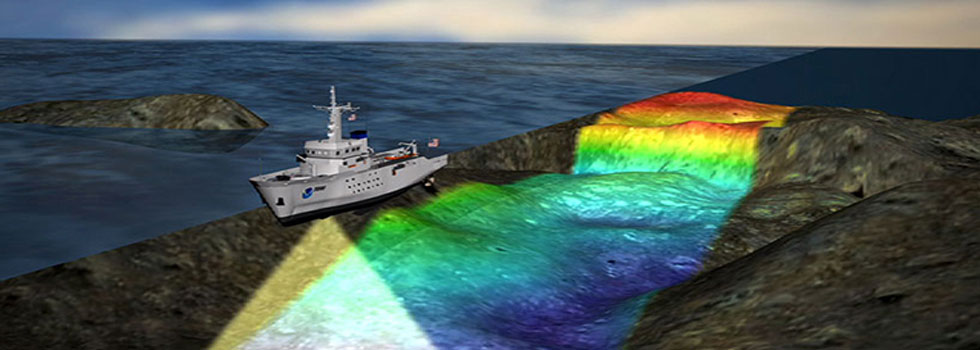
Geophysics is a study of Earth Science concerned with the physical processes and physical properties of the Earth and its surrounding space environment. Quantitative methods of Geophysical surveys are used for mapping on and below the seafloor
Geophysical Surveys play an important role for marine engineering activities like Breakwater construction, Dredging, Oil & Gas Pipeline, Cable laying, Jacket installation, Navigational Channel development.
Geophysical Surveys used as a tool for investigation prior to commencement and post completion of engineering activities.
Various types of quantitative Geophysical survey sensors will be selected and used based on individual project requirements and can be easily installed on any of the dedicated survey vessels for online data acquisition.
Visakha Marine Surveys can execute all Geophysical Surveys for Ports / Harbors Dredging and Reclamation, Breakwater Construction, Oil & Gas Near Shore and Offshore Engineering activities.
Sub-bottom profiler
Sub-bottom profiler is a type of sonar system and a geophysical survey tool, which works based on the principle of seismic reflection and refraction that uses sound to map beneath the seafloor. Low-frequency pulses of sound are aimed toward the seafloor, where some pulses penetrate through and are then reflected by subsurface sediment. Sub-bottom profilers can be installed in the hull of a ship or towed behind a moving vessel.
Sub-bottom profiling does not map the seafloor but rather records the geological or stratigraphic section of the layers below the seabed surface. These reflections are called “horizons”, which can be mapped across the survey area.
Sub-bottom profiling systems are used to identify and characterize layers of sediment or rock under the seabed and investigate the sub-seabed stratigraphy and degree of homogeneity of the subsoil. The data obtained using this system provides information on these sub-floor sediment layers.
Side Scan Sonar
Side Scan Sonar is a sonar device or sensor used as a part of Geophysical investigations to map seafloor and to produce the seafloor mosaic imagery.
Side scan sonar is used to map the ocean floor and to find and identify objects underwater with principles of acoustic/sound waves
It is a towing sensor, that can look sideways. This can be compared with a radar, but uses sound echoes instead of electromagnetic pulses. The sound pulses are usually on frequencies between 100 and 500 KHz.
The tow-fish is towed behind the survey boat with long connected cable and emits regular soundwaves from transducers. These pulses are reflected back to the tow-fish when they encounter an obstruction or object in their path.
The intensity of the reflection is recorded and this can illustrate characteristics of the seafloor and objects on seafloor.
Magnetometer
Marine magnetometry is different from the previous techniques. It does not use soundwaves but detects variations in the Earth’s total magnetic field.
The variations in the magnetic field are caused by the presence of ferrous (iron) material on or under the seafloor. Marine magnetic surveying has become a standard technique for mapping the location of ferrous material on the seabed as a part of Geophysical investigation for marine engineering activities.
The equipment needs to be towed behind the boat at a sufficient distance to avoid any magnetic disturbance caused by the boat itself. The data collected is combined and displayed in different ways.
Grab Samplers
Generally, grab sampler is used as a secondary option and not considered as main line of soil investigation. Grab samplers are one of the most common methods of retrieving soil samples from the seabed surface to validate the Morphological results generated from the Geophysical investigation surveys.